University of Minnesota
http://www.umn.edu/
612-625-5000
http://www.umn.edu/
612-625-5000
Minnesota Biodiversity Atlas
Bell Museum
Dataset: MIN-Bryophytes
Search Criteria: Mexico; Estado de México; excluding cultivated/captive occurrences
1
Page 1, records 1-2 of 2
Bell Museum bryophytes | |
 MIN:Bryophytes | 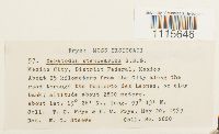 Ceratodon stenocarpus Bruch & Schimp. 397494[1115646]Frye, T.C. 28201939-05-20 Mexico, Estado de México, Naucalpan, Mexico City, District Federal: About 25 km from the city along the road through the Desierto des Leones, 19.466667 -99.216667, 2800m |
MIN:Bryophytes | 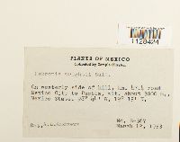 Fabronia wrightii Sull. 577600[1128424]Clayton, Temple B-3671953-03-12 Mexico, Estado de México, Chalco, km. 47.4 road Mexico City to Puebla, 19.25 -98.733333, 3000m |
1
Page 1, records 1-2 of 2
Google Map
Google Maps is a web mapping service provided by Google that features a map that users can pan (by dragging the mouse) and zoom (by using the mouse wheel). Collection points are displayed as colored markers that when clicked on, displays the full information for that collection. When multiple species are queried (separated by semi-colons), different colored markers denote each individual species.